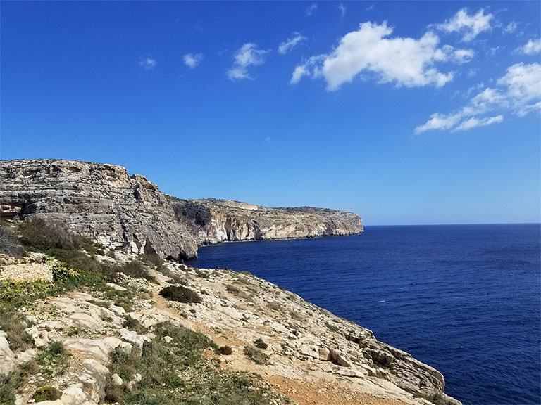
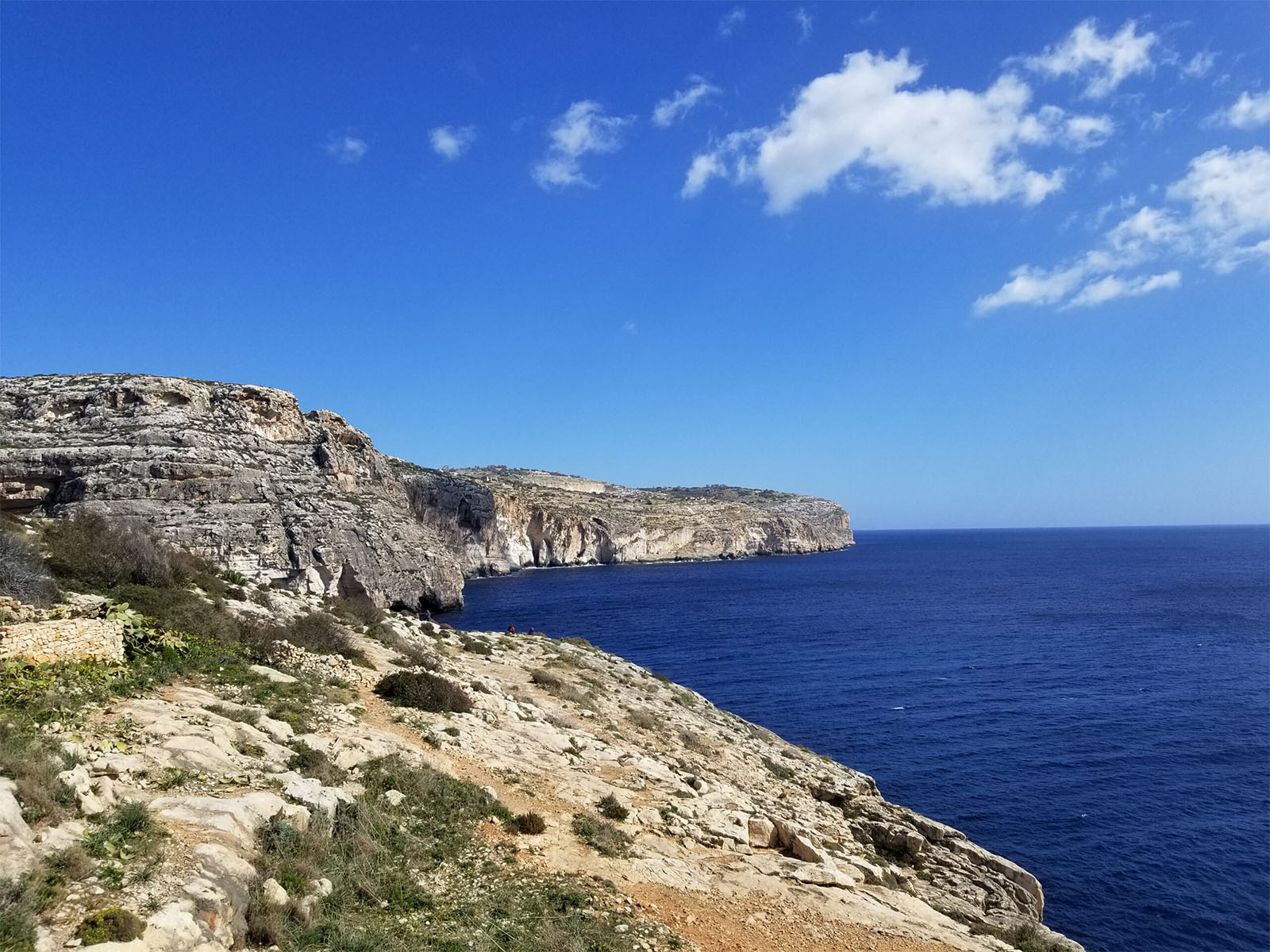

Hiking in Malta starts from the bay of Wied-Babu…
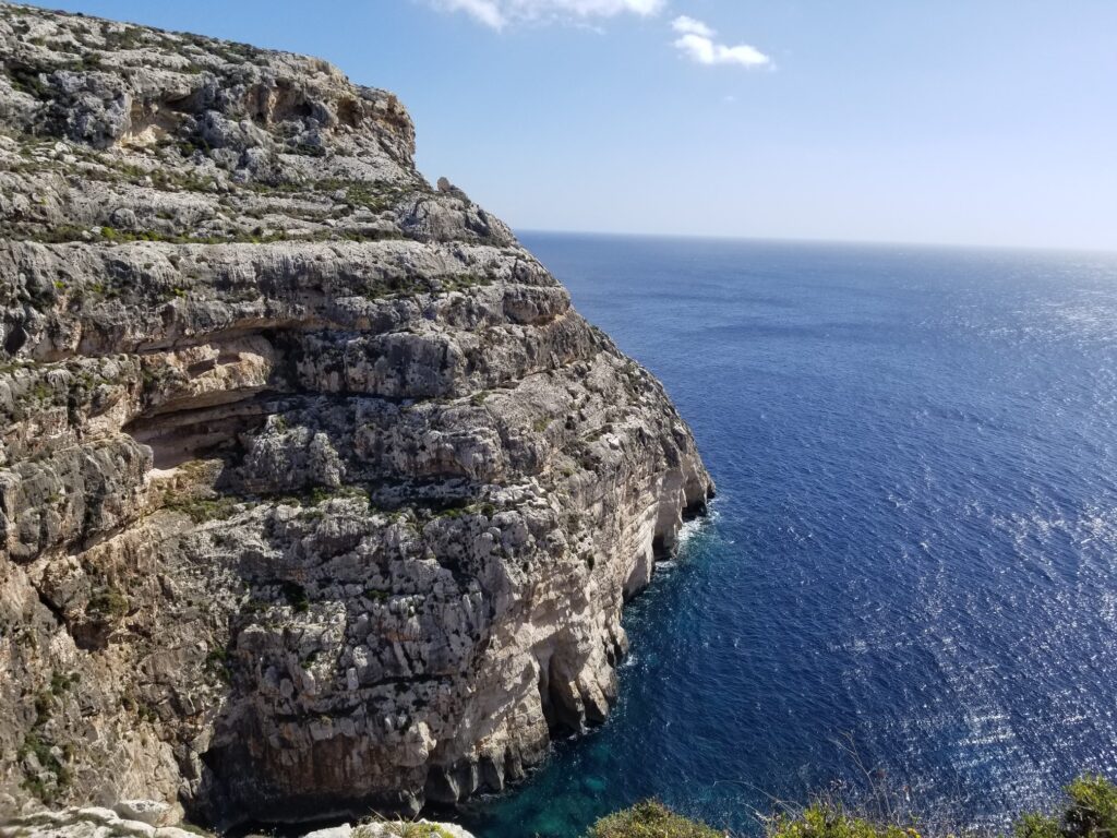
….which then descends to the sea.
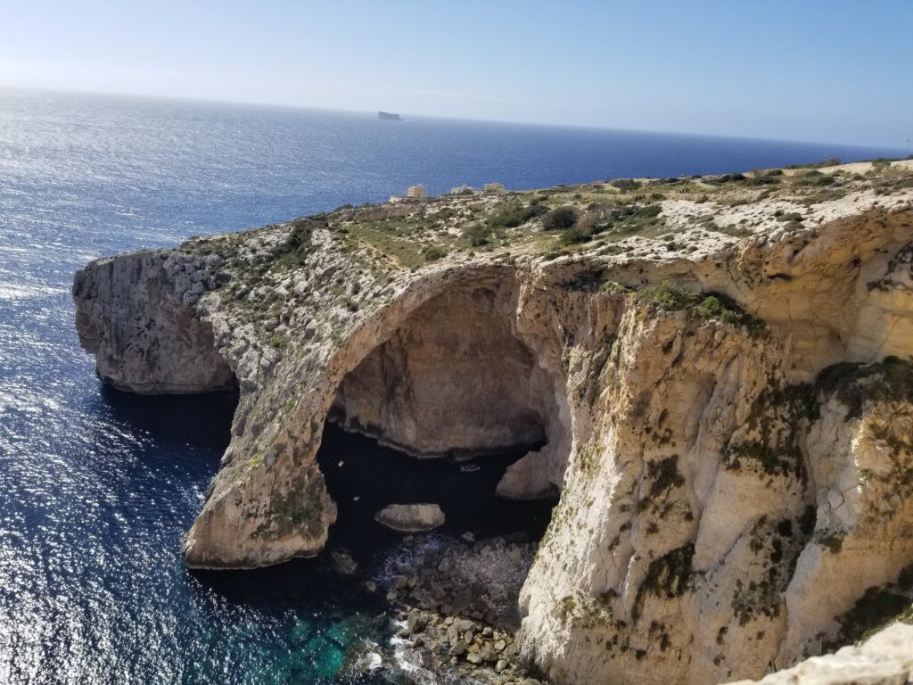
From there, there is a view of one of Malta’s biggest natural attractions – the Blue Cave and the Stone Bridge over it.
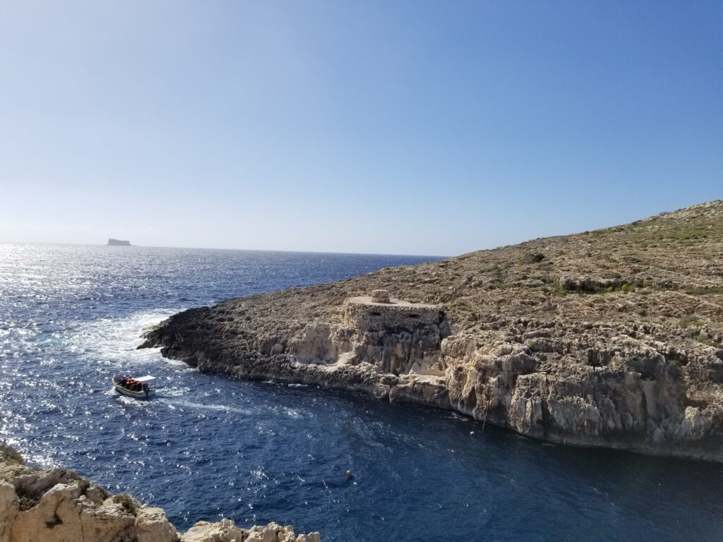
The Blue Cave is reachable by boat which we can take at Wied-iz-Zurrieq.
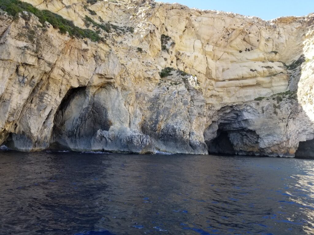
There are five caves to visit by boat.
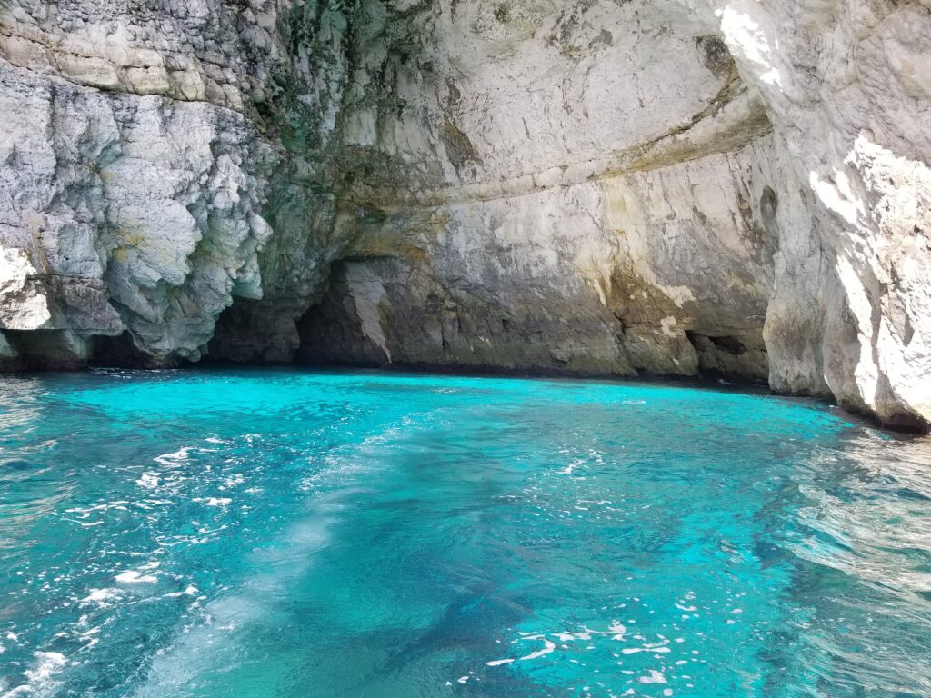
The most impressive among them is the Blue Cave. Its unusual blue color reflects under the sunshine.
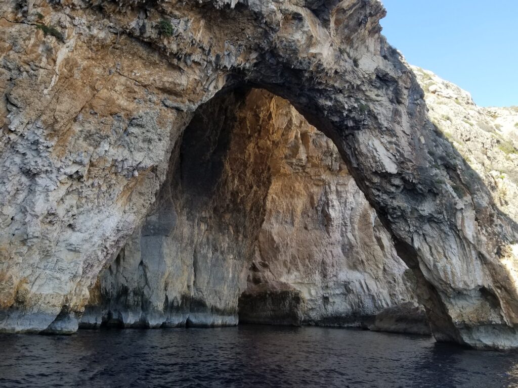
The boat then takes us under the Stone Bridge, which once probably was part of the sea cave that in the meantime collapsed into the sea. Sea caves are formed by the force of waves. This constant action creates a depression in the rock which may be under or above the sea level.
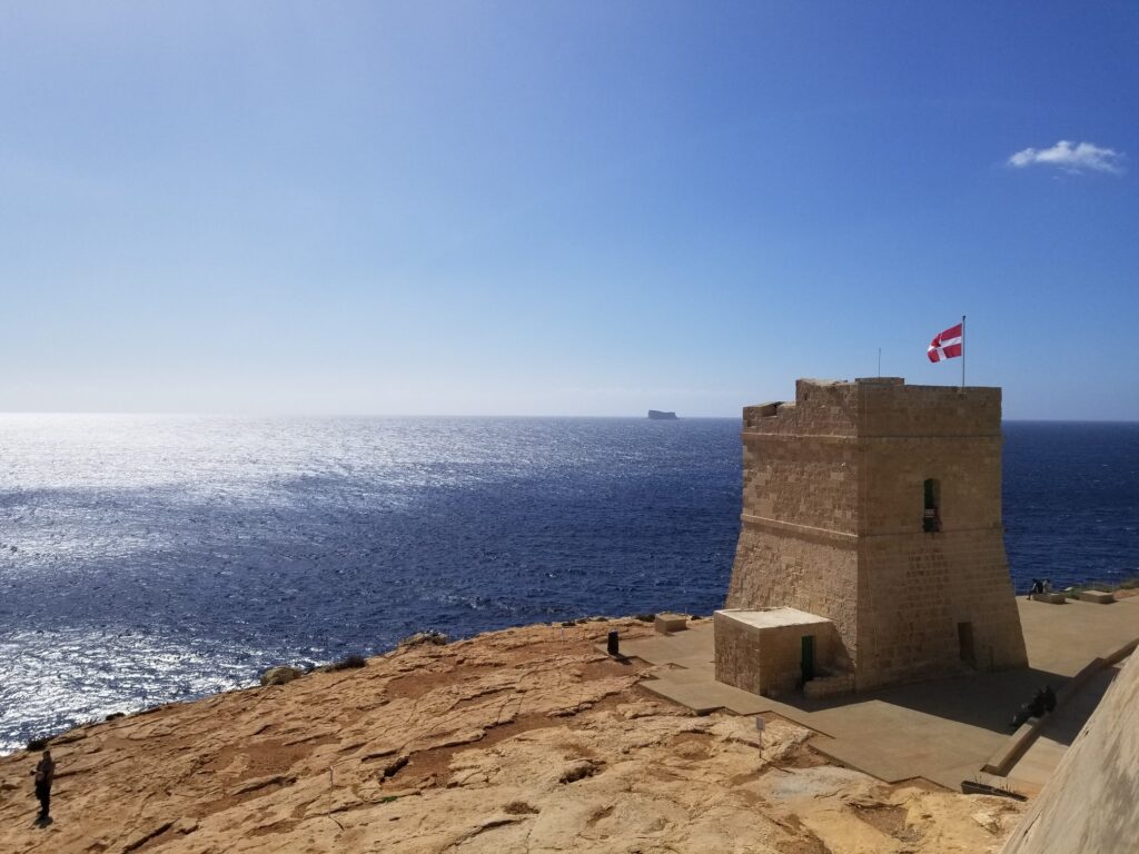
Next to Wied-iz-Zurrieq there is a 16th century tower. Since 17th century Malta was ruled by the Knights of Malta. This monastic military order was founded during the Crusades in the 11th century. Like the Templars and the Teutons, they were both monastic and military orders. They played a key role in defending Malta from the Ottoman invasion in 1565. In the 17th century, the Knights of Malta built a total of 13 towers, of which 8 have been preserved.
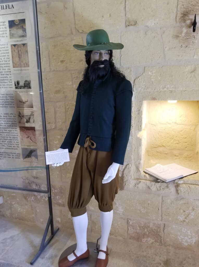
The towers served as watchtowers and consisted of two guards and one commander named Toriero. The commander had a nicer uniform because once a month he would go to the capital La Valletta where he received his salary. Enyone entering the city had to be dressed nicely.
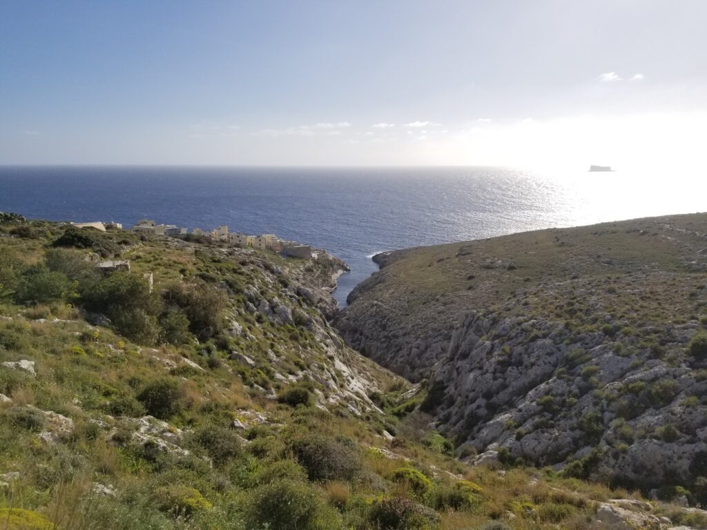
When standing above Wied-iz-Zurrieq, you can see Zurrieq bay, after which this place was named.
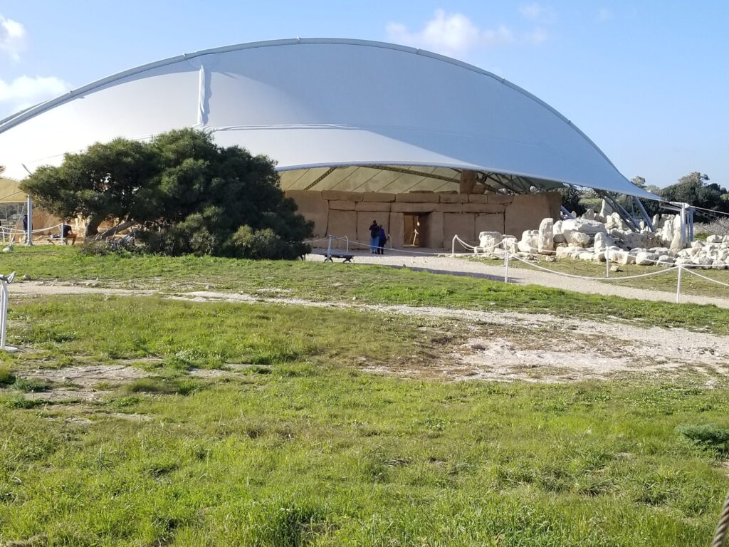
In Malta and the neighboring island of Gozo, 6 temples from the Neolithic period have been preserved, built between 3800-2600 B.C. and are considered to be one of the oldest preserved temples in the world, which are even older than the Egyptian pyramids. Only one temple in Turkey is older than them. This is the temple of Ta Hagart, and it is assumed that it was dedicated to the goddess of fertility, because the figure of a woman named Venus from Malta has been preserved. A preserved gate can be seen at the entrance to the temple. In the middle of the temple there is a huge stone megalith, which is 21 m high and it weighs 20 tons. The most important part of the temple is the exterior altar, with a hole. At dawn of the first day of summer, sunlight passes through the hole and creates a reflection of the crescent moon on the megalith.
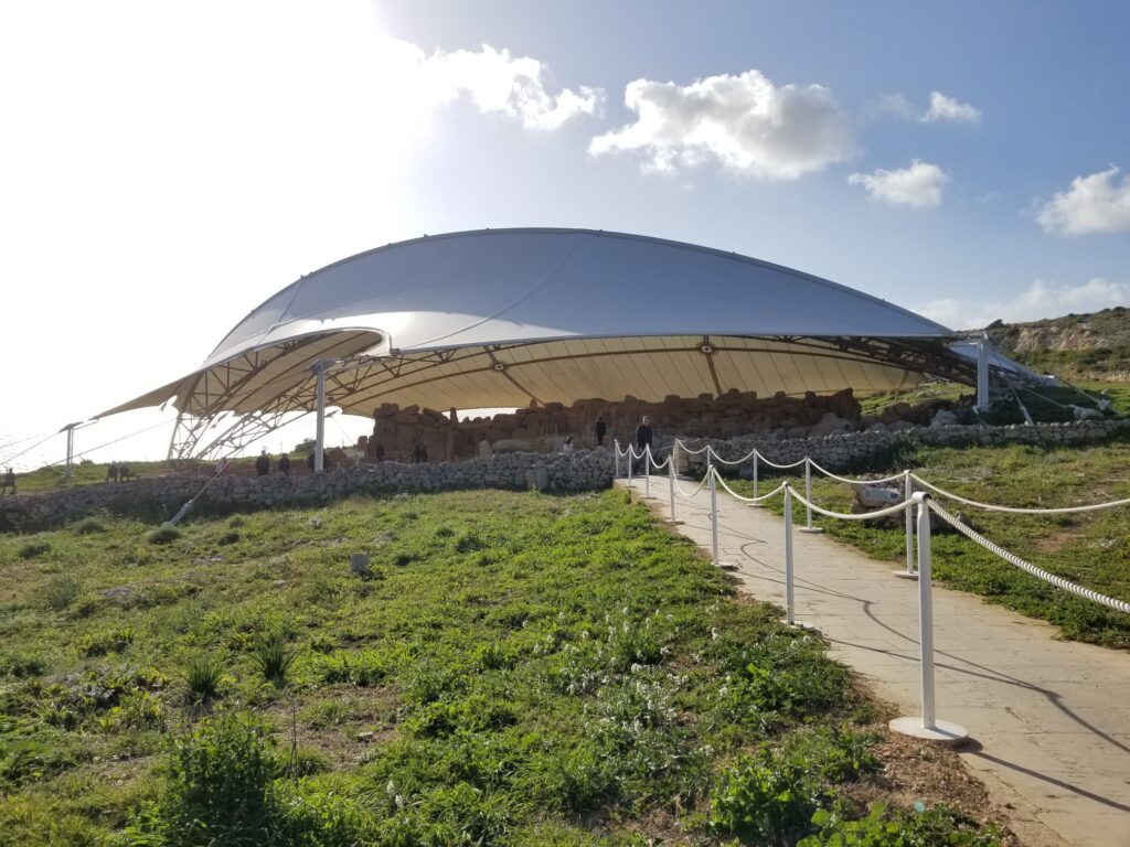
Right next to the temple of Ta Hagart, there is another temple, Mnajdra.
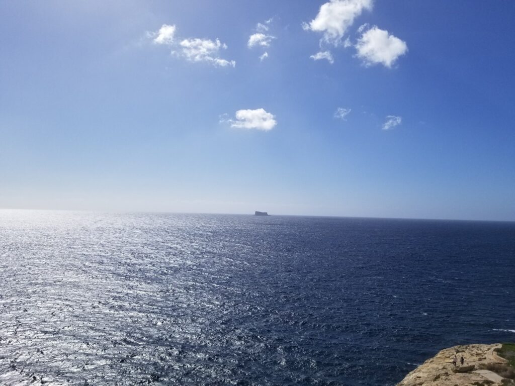
Across the sea from the temple a small island of Filfa can be seen. It is believed to have had a special mythical significance for temple builders. During the Middle Ages a small chapel was built on it and the island was often visited by sailors who took refuge here during storms.
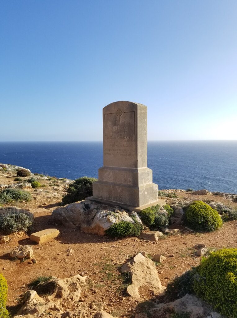
Malta was under British colonial rule from 1798 until independence in 1964. The monument next to the temples is dedicated to the British governor of the island, who was buried at the sea between this monument and the island of Filfe.
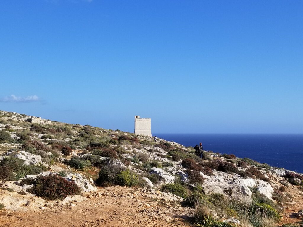
In the distance you can see another tower, Hamrija, built by Knights of Malta.
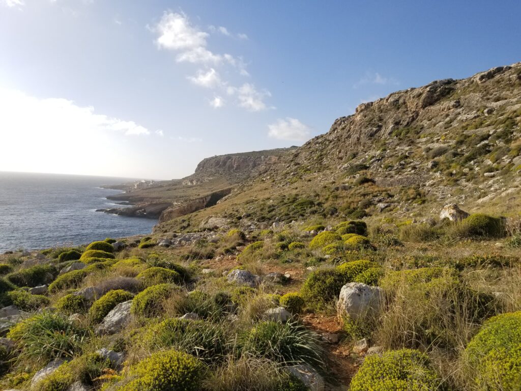
There is a trail connecting temples to the coast.
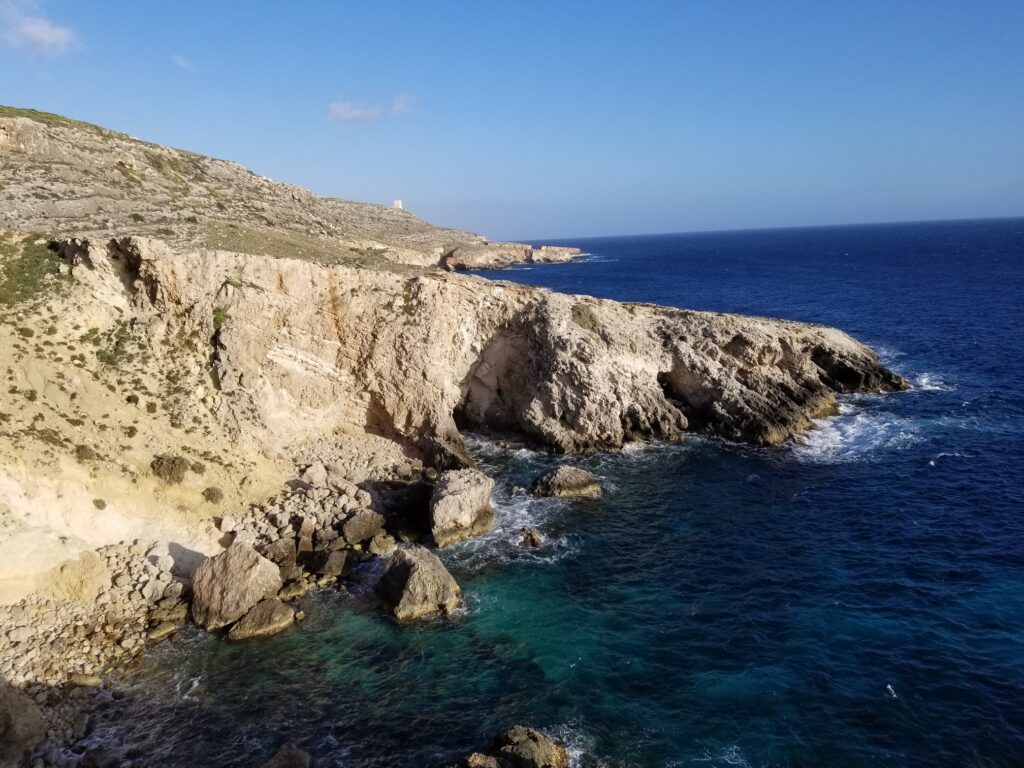
The coast consists of a large number of beautiful and steep bays, which were formed of rocks breaking under the influence of waves.
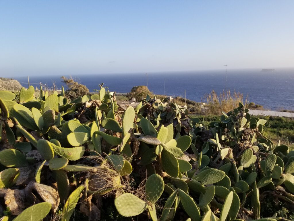
Prickly pear or Indian fig belongs to the cactus family. It originates from Mexico and was brought to Europe in the 16th century, and as an invasive species it spread throughout the entire Mediterranean.
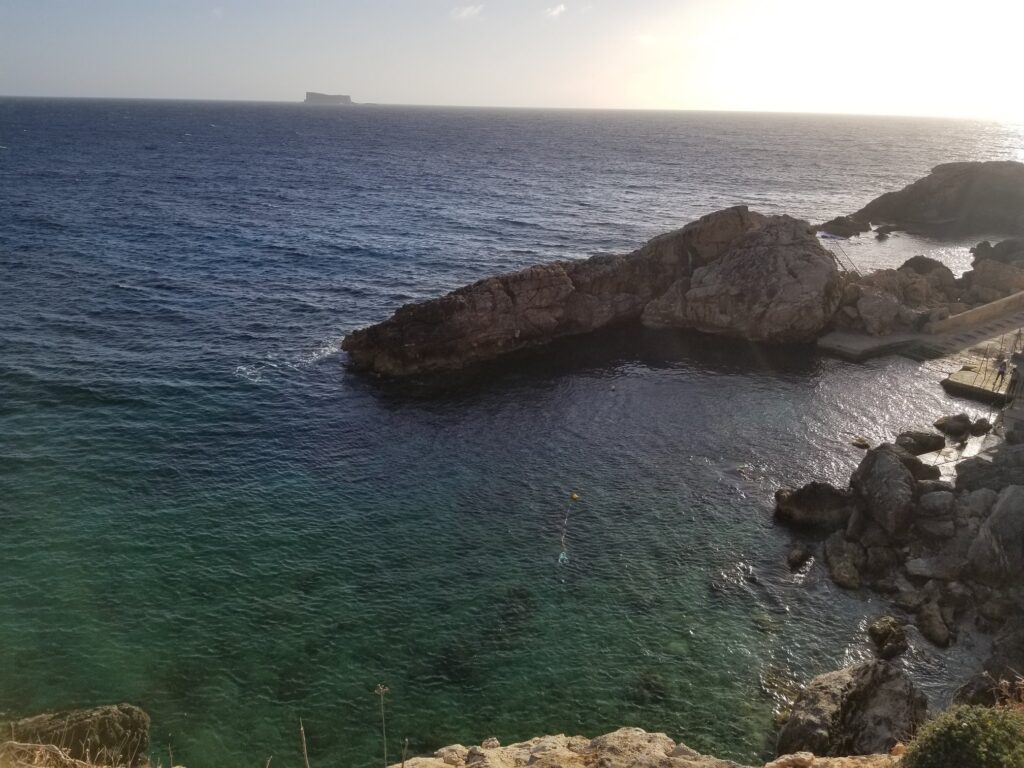
Small, well organized beach Ghar Lapsi.
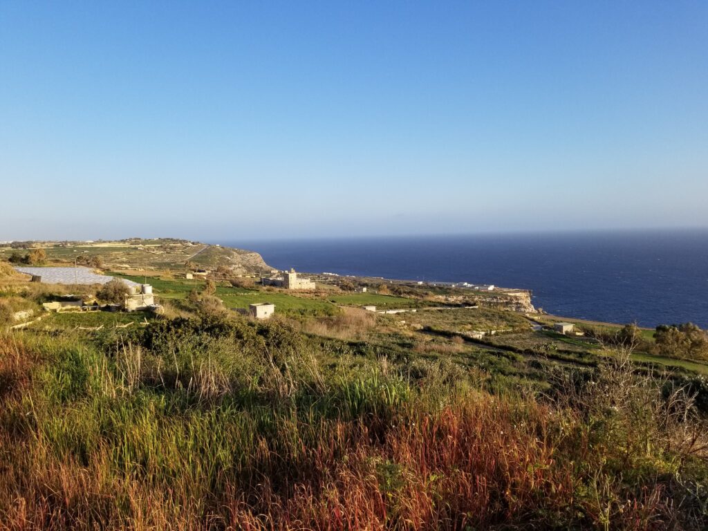
At one point, the trail reaches a plateau, which consists of terraced plots, on which the land has been cultivated for centuries. These terraced plots gently descend almost to the sea.
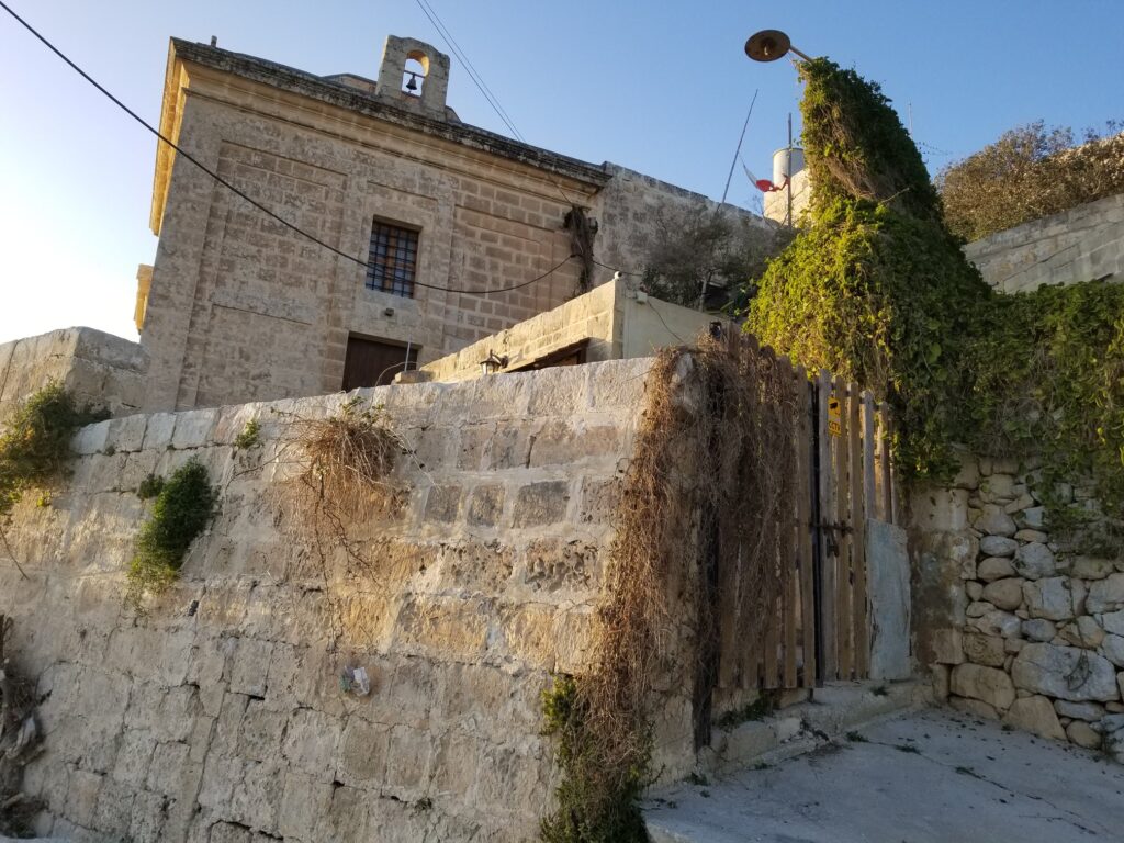
Above the valley there are two churches, a chapel dedicated to the Assumption of the Virgin Mary…
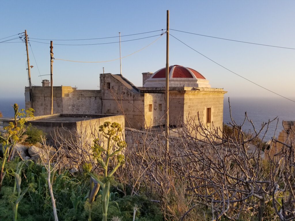
…and the chapel dedicated to Our Lady of Mount Carmel, which has a characteristic red dome. In Malta, the vast majority of churches were built with a dome, which is characteristic of the Baroque style of the 17th century, in which most of these churches were built.
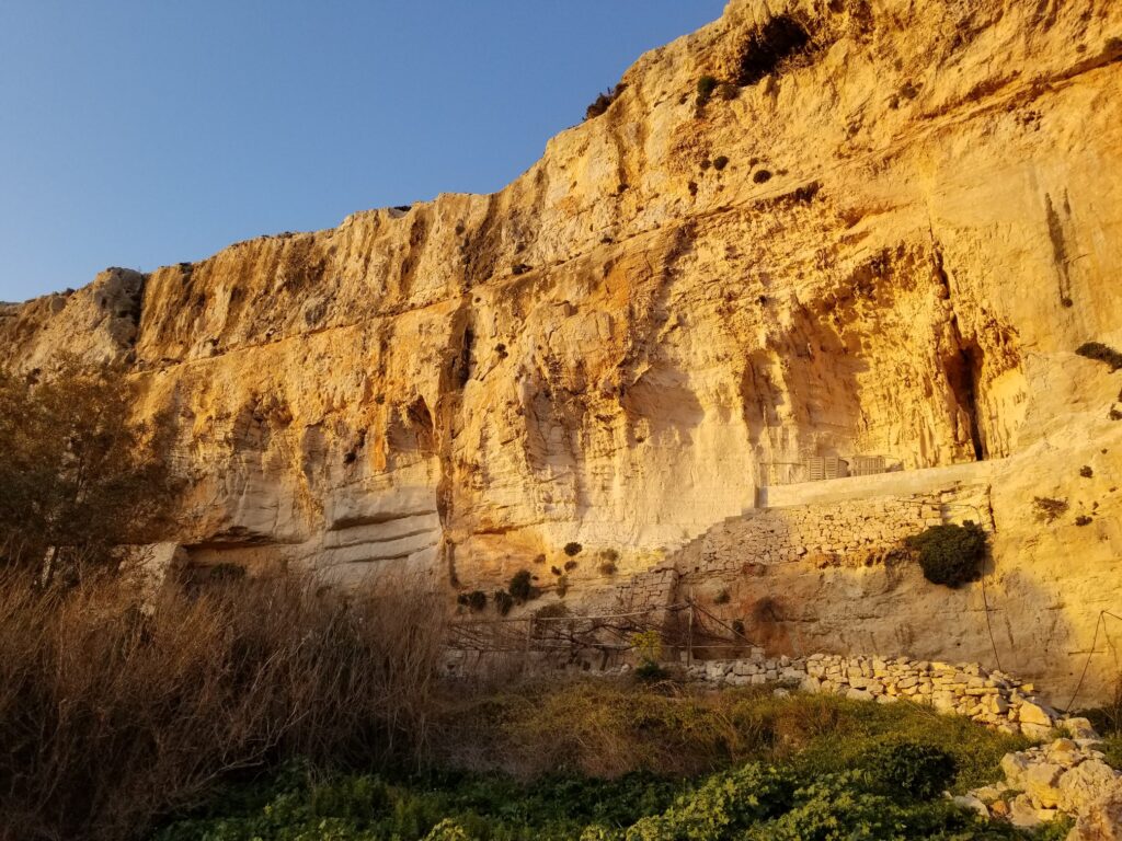
From the valley the trail continues up towards hill Dingli, which with peak of 250 m above sea level is the highest point of Malta.
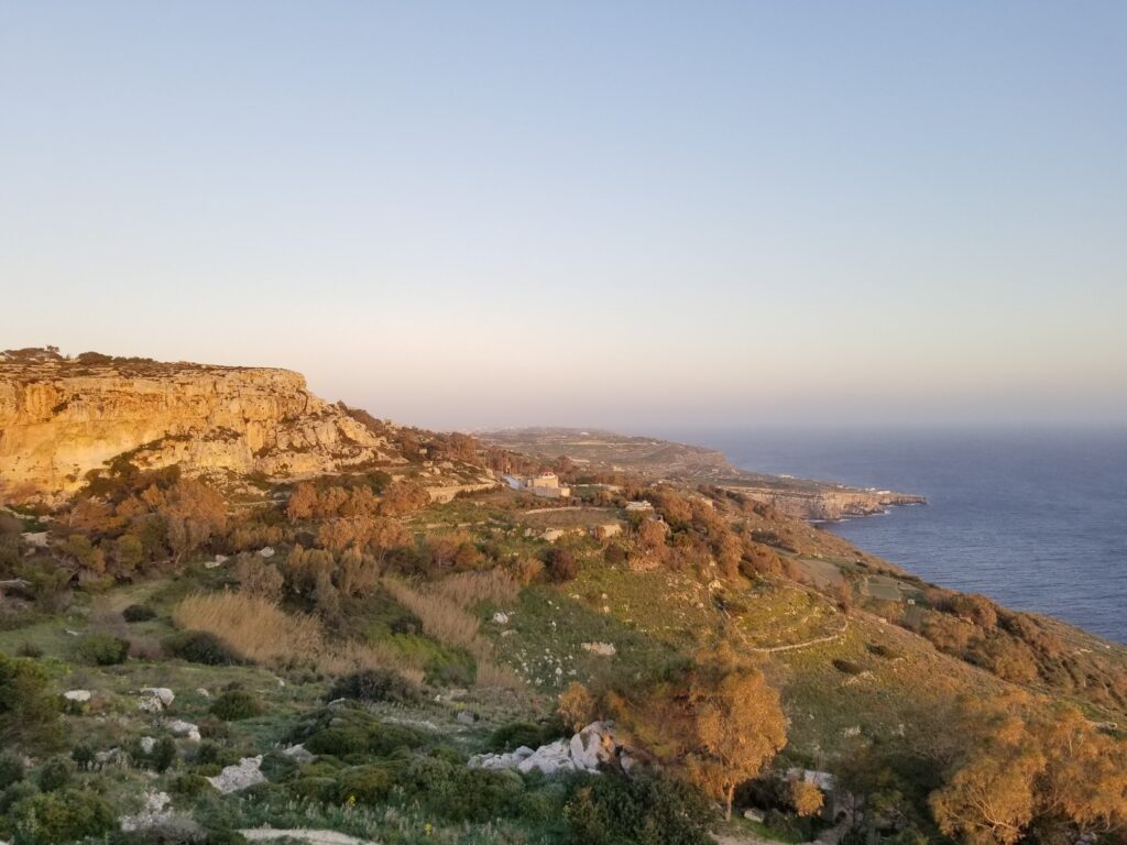
A beautiful view from Dingli hill.
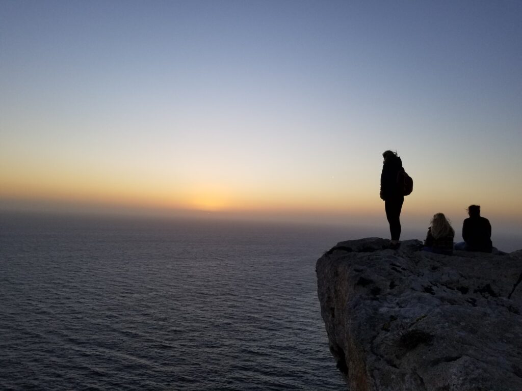
And the inevitable sunset.
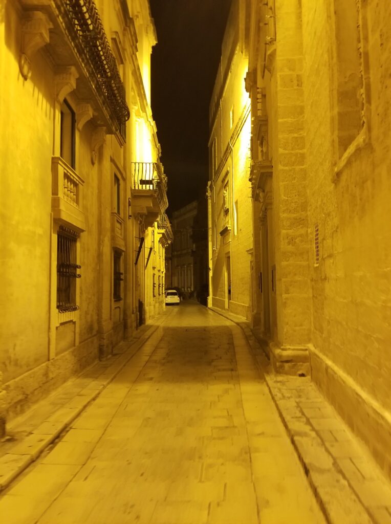
The first day of walking we end with a tour of the old city of Mdina, which until the founding of Valletta in the 16th century was the capital of Malta. In the VIII century BC. Malta was colonized by Phoenician merchants. On the site of today’s Mdina, they founded the city of Malet, after which the island was named. Later, the city was ruled by the Carthaginians, Romans, Byzantines, and from 870-1127 it was ruled by the Arabs from Tunisia, who gave the city the name Medina, which in Maltese is pronounced as Mdina. The Arabs have left a big mark on the history of Malta, especially on the language, because today’s Maltese language is a mixture of Sicilian-Arabic. Even today, in many North African cities, the term Medina is used for the centre of any old city surrounded by walls, with narrow and scattered streets.
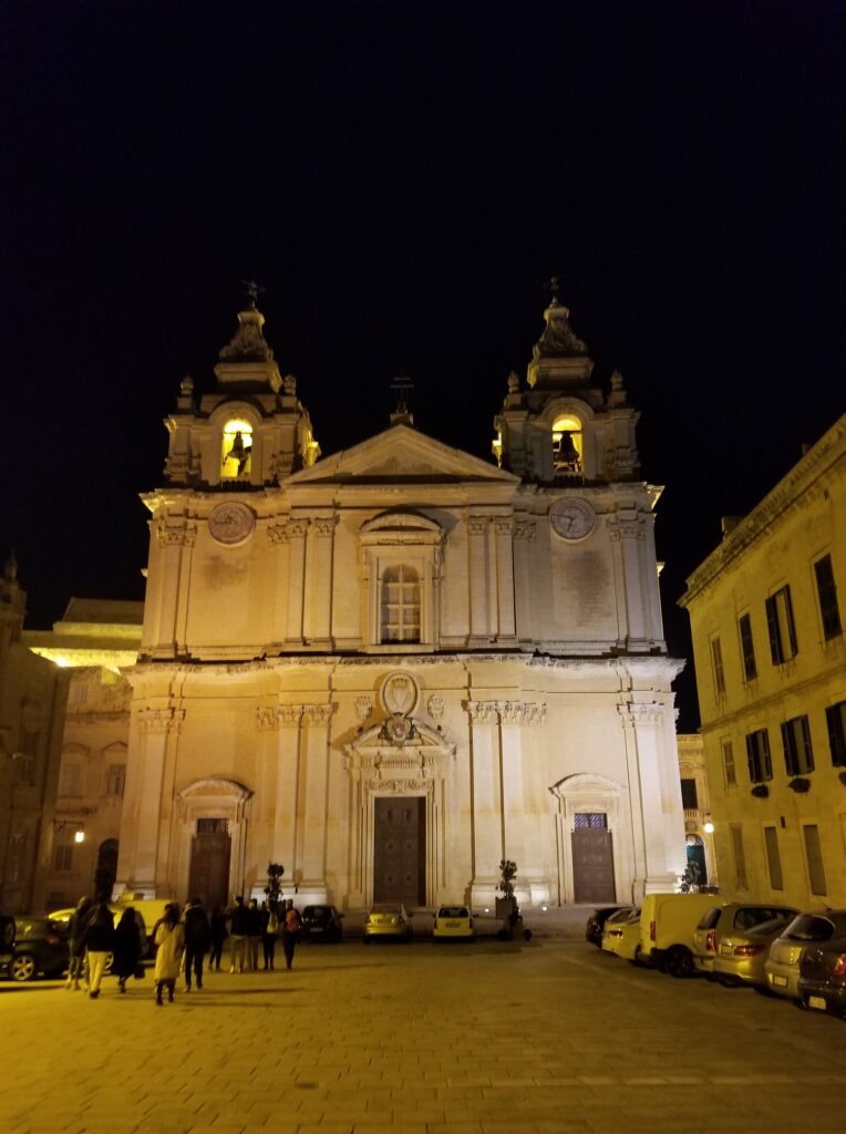
There is not much left from Roman and Arabic times. Today we may see buildings built during 17th century in baroque style.
Check out other beautiful wonders in Malta, like Malta Coastal Walk and Gozo.
Malta is small island and it can be easily discovered walking by it coast. Beside beautiful nature, mediterranean coast, along t
Read More
Beside main island, Malta has two other inhabitant islands Gozo and Comino. Gozo is smaller island that you can visit by foot in
Read More